- Tiempo Actual
- Estacion Ojaiz Peñacastillo
- Précipitaciones
- MODELOS
- Avisos
- Viento
- Sol/Luna/Tierra
- Personalizar
- RADAR OJAIZ
- Blogspot
- Otras Observaciones
- More radar / maps
- Mas avisos
- Mas previsiones
- Hhistory / almanac
- Steelseries
- Mapas
- Otras Cosas
- Desarrollo
- Demo extra pages
- Inspect uploads & settings

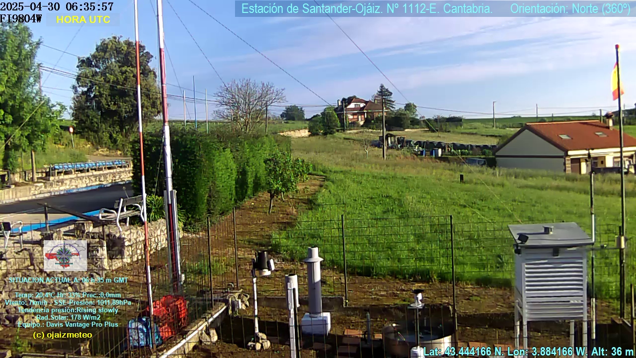
My webcam
Radar lluvias

Visita nuestra red de sitios de meteo:
Template documentation
and downloads